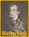
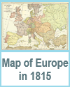
Maps and pictures are invaluable tools for World History students studying the Age of Reaction in nineteenth-century Europe, as they provide visual context and enhance comprehension of complex historical events. Maps can illustrate the shifting political boundaries, the expansion and contraction of empires, and the geographical spread of revolutionary movements. They help students understand the spatial relationships between countries and the strategic considerations of key players like Metternich.
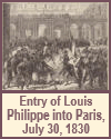
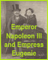
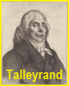
Pictures, including portraits of influential figures, depictions of significant events, and illustrations of everyday life, bring the era to life. They offer insights into the cultural and social aspects of the time, making abstract concepts more tangible. Visual aids can also highlight contrasts between different political ideologies and their impacts on society. By engaging multiple senses, maps and pictures make the learning experience more interactive and memorable, aiding in the retention and understanding of the Age of Reaction.
|

