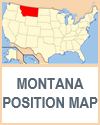
Montana, often referred to as "Big Sky Country," boasts a diverse and expansive geography that makes it one of the most picturesque states in the United States. Covering approximately 147,040 square miles, it is the fourth largest state by area, yet one of the least densely populated, offering vast, open landscapes. Students living in other areas can compare and contrast their locales with those of Montana, looking at factors such as population density.
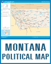
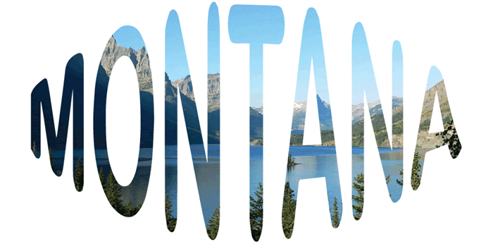
Montana's geography is broadly divided into two main regions: the western mountainous region and the eastern plains. The western part of the state is dominated by the Rocky Mountains, with numerous ranges such as the Bitterroot, Cabinet, and Mission Mountains. This region is characterized by rugged terrain, deep valleys, and numerous glacial lakes, including the famous Flathead Lake, one of the largest natural freshwater lakes in the western United States. Glacier National Park, located in the northern part of the Rocky Mountains, is a highlight, featuring stunning alpine scenery, pristine forests, and diverse wildlife.
The Continental Divide runs through western Montana, separating the watersheds that flow into the Pacific Ocean from those that drain into the Atlantic via the Gulf of Mexico. This divide contributes to the state's varied climate and hydrology.
Covering this aspect of Montana's geography is an excellent opportunity to reinforce student's understanding of the water cycle.
In contrast, eastern Montana is part of the Great Plains, featuring vast, rolling prairies, badlands, and river valleys. This area is primarily agricultural, with extensive wheat fields and cattle ranches. The Missouri River, the longest river in North America, traverses the state from southwest to northeast, providing vital water resources for agriculture and ecosystems. Significant tributaries like the Yellowstone River and the Milk River further enrich the region's waterways.
Students can answer questions such as, why are open prairies conducive to productive agriculture?
Montana's diverse geography also includes significant plateaus and basins, such as the Yellowstone Plateau in the south and the Helena Valley in the west-central region. The state is also home to various mineral resources, including gold, silver, coal, and oil, which have historically played important roles in its economy.
This is an excellent opportunity to introduce younger students to the periodic table, identifying and memorizing these elements' abbreviations.
Overall, Montana's geography is a tapestry of dramatic contrasts and natural beauty, ranging from towering mountain peaks and glacial lakes to expansive plains and river valleys, making it a unique and captivating state. It offers abundant opportunities to enhance students' understanding of its landscape features.
|
