Maps and pictures are valuable visual aids that can significantly enhance American History students' understanding of life during the colonial period.
Maps:
- Geographical Context: Maps provide a clear visual representation of the geography of the colonial period, including the locations of colonies, settlements, natural features, and boundaries. They help students understand the spatial context in which historical events unfolded.
- Colonial Expansion: Maps illustrate the expansion of European colonies over time, showing the progression from early settlements to more established colonies. This helps students grasp the extent of colonial territories.
- Trade and commerce: Maps can depict trade routes, ports, and major trade centers. Students can see how trade networks operated and understand the economic significance of various regions.
- Conflict and Alliances: Maps can show the locations of conflicts, battles, and alliances between colonial powers and Native American tribes. This visual representation aids in understanding the dynamics of territorial disputes.
- Cultural and Ethnic Diversity: Maps can highlight the distribution of different ethnic and cultural groups within the colonies, helping students appreciate the diversity of colonial society.
- Resource Distribution: Maps can indicate the distribution of natural resources such as forests, rivers, and mineral deposits. This information is vital for understanding the economic activities of the time.
Pictures and Illustrations:
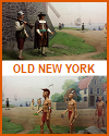
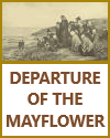
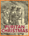
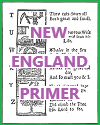
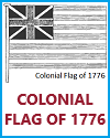
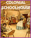
- Visual Representation: Pictures and illustrations provide visual depictions of colonial life, including clothing, architecture, tools, and daily activities. They offer a window into the material culture of the period.
- Portraits: Portraits of key historical figures, such as colonial leaders, Native American leaders, and important settlers, help students connect with and remember the individuals who played significant roles in colonial history.
- Artistic Representations: Artistic works from the colonial era, including paintings and drawings, can reveal the aesthetics and artistic styles of the time. These visuals offer insights into the cultural and artistic sensibilities of colonial society.
- Primary Source Insights: Pictures often serve as primary sources that provide direct insights into the past. Analyzing visual sources allows students to practice historical interpretation and critical thinking.
- Social Hierarchies: Pictures can illustrate social hierarchies and class distinctions in colonial society. They show how people dressed, where they lived, and the objects associated with their status.
- Daily Life: Visual representations of colonial homes, work environments, and leisure activities help students better understand the routines and lifestyles of colonial inhabitants.
- Conflict and War: Visual depictions of colonial conflicts, including battle scenes and fortifications, can help students visualize the challenges and realities of warfare during the period.
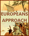
- Cultural Exchange: Pictures can depict cultural exchanges between colonists and Native Americans, including scenes of trade, diplomacy, and interactions. This illustrates the complex relationships that developed.
When integrated effectively into the curriculum, maps and pictures can make history more engaging, memorable, and relatable for students. They offer a multi-dimensional view of colonial life, helping students connect with the past on both intellectual and emotional levels. These visual resources enable students to explore the world of colonial America beyond the confines of textbooks and written accounts, fostering a deeper understanding of this pivotal period in American history.
|
