

 |
| Medieval Europe Maps and Pictures |
|---|
| www.studenthandouts.com > World History > European Middle Ages > Medieval Maps and Pictures |
 Maps and pictures significantly enhance the learning experience of high school World History students studying the European Middle Ages by providing a visual and tangible connection to the past. Maps allow students to visualize the geographical context of medieval Europe, including the boundaries of kingdoms, the locations of significant cities, and the routes of trade and pilgrimage. This geographical understanding helps students comprehend the political, economic, and cultural dynamics of the period.
 Pictures, such as illustrations, paintings, and photographs of artifacts, bring the Middle Ages to life. They depict the architecture of castles and cathedrals, the attire of knights and peasants, and the art and manuscripts of the time. These visuals help students better understand the daily life, social structures, and cultural achievements of the era. By integrating maps and pictures into the curriculum, teachers can make abstract concepts more concrete and relatable. Visual aids support diverse learning styles, making the material more accessible and engaging. They also help students retain information by creating memorable visual associations. Overall, maps and pictures enrich the study of the European Middle Ages, fostering a deeper and more comprehensive understanding of this pivotal historical period. |
 |
 |
 |
 |
 |
||||||
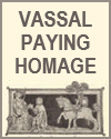
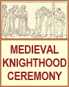
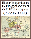
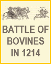
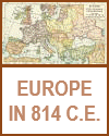
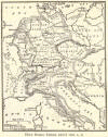
| Vassal Paying Homage | Ceremony of Knighthood | Map of Europe in 526 C.E. | Battle of Bouvines, 1214 | Map of Europe in 814 C.E. |
 |
 |
 |
 |
 |
||||||
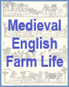
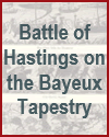
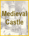
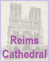
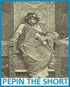
| Medieval English Farm Life | Battle of Hastings Depicted on the Bayeux Tapestry | Medieval Castle | Reims (or Rheims) Cathedral | Pepin the Short (714-768 C.E.) |
 |
 |
 |
 |
 |
||||||
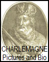
| Charlemagne Pictures and Biography | Map of the Holy Roman Empire, 1000 C.E. | Knight Templar | Medieval Troubadours | Canterbury Cathedral |
 |
 |
 |
 |
 |
||||||
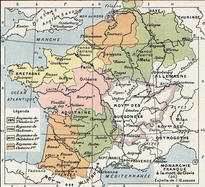
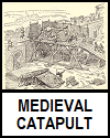
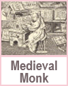
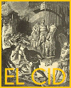
| Charles Martel "The Hammer" (686-741 C.E.) | Map Showing Division of Gaul in 511 C.E. | Medieval Catapult | Medieval Monk Copying a Manuscript | El Cid (circa 1043-1099) |
 |
 |
 |
 |
 |
||||||
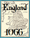
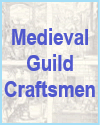
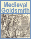
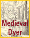
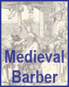
| Map of England in 1066 | Medieval Guild Craftsmen | Medieval Goldsmith | Medieval Dyer | Medieval Barber |
 |
 |
 |
 |
 |
||||||
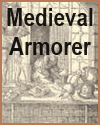
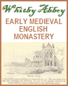
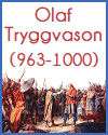
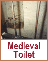
| Medieval Armorer | Whitby Abbey | Olaf I of Norway (963-1000) | William the Conqueror | Medieval Toilet |
 |
 |
 |
 |
 |
||||||
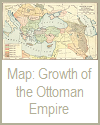
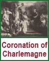
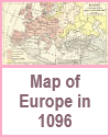
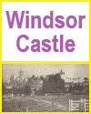
| Ladies of the Frankish Nobility | Ottoman Empire, 1355-1683 | Coronation of Charlemagne | Map of Europe in 1096 | Windsor Castle |
 |
 |
 |
 |
 |
||||||
| Tower of London | Viking Longship | Harold Godwinson (circa 1022-1066) | Falconer of the European Middle Ages | Medieval Jousting Tournament |
 |
 |
|||||||||
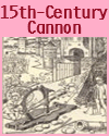
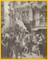
| Fifteenth-century Cannon | Joan of Arc's Entry into Orleans |
| Middle Ages Books and Films | Middle Ages Outlines and PowerPoints |
| Middle Ages Maps and Pictures | Middle Ages Study Games |
| Middle Ages Miscellany | Middle Ages Printable Worksheets |
| www.studenthandouts.com > World History > European Middle Ages > Medieval Maps and Pictures |


